Visualizations

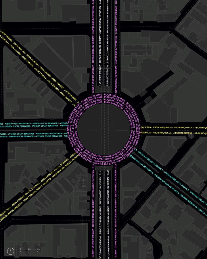
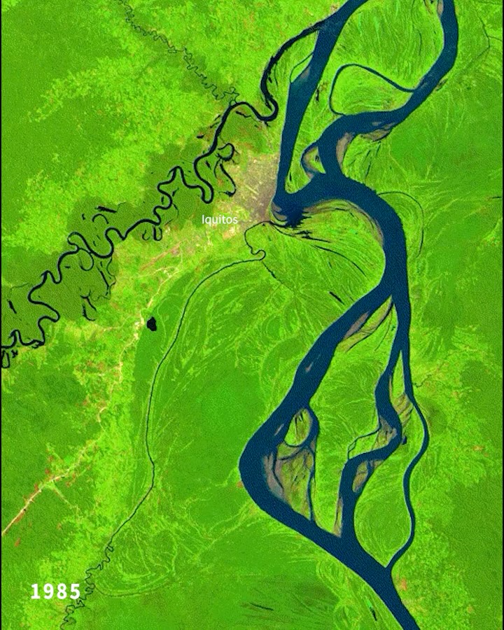
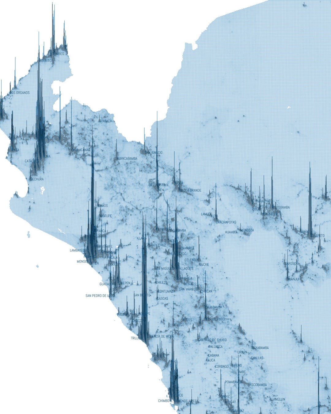
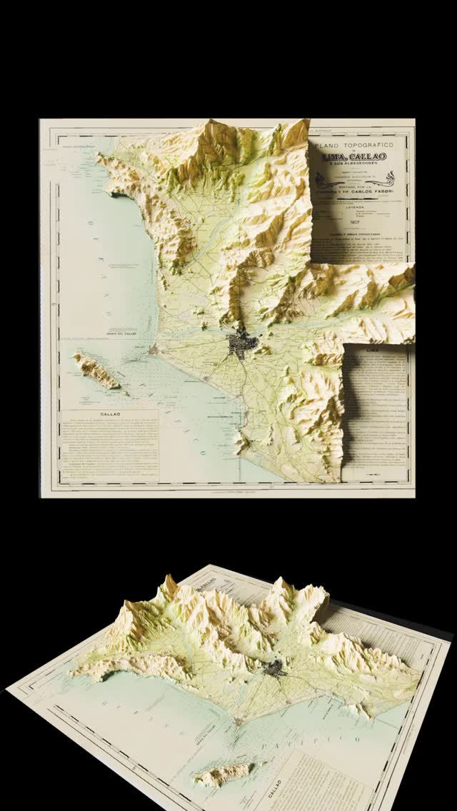
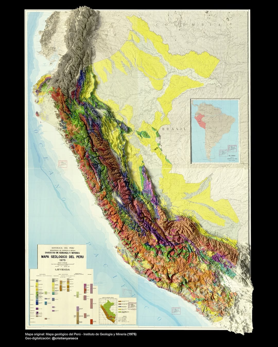
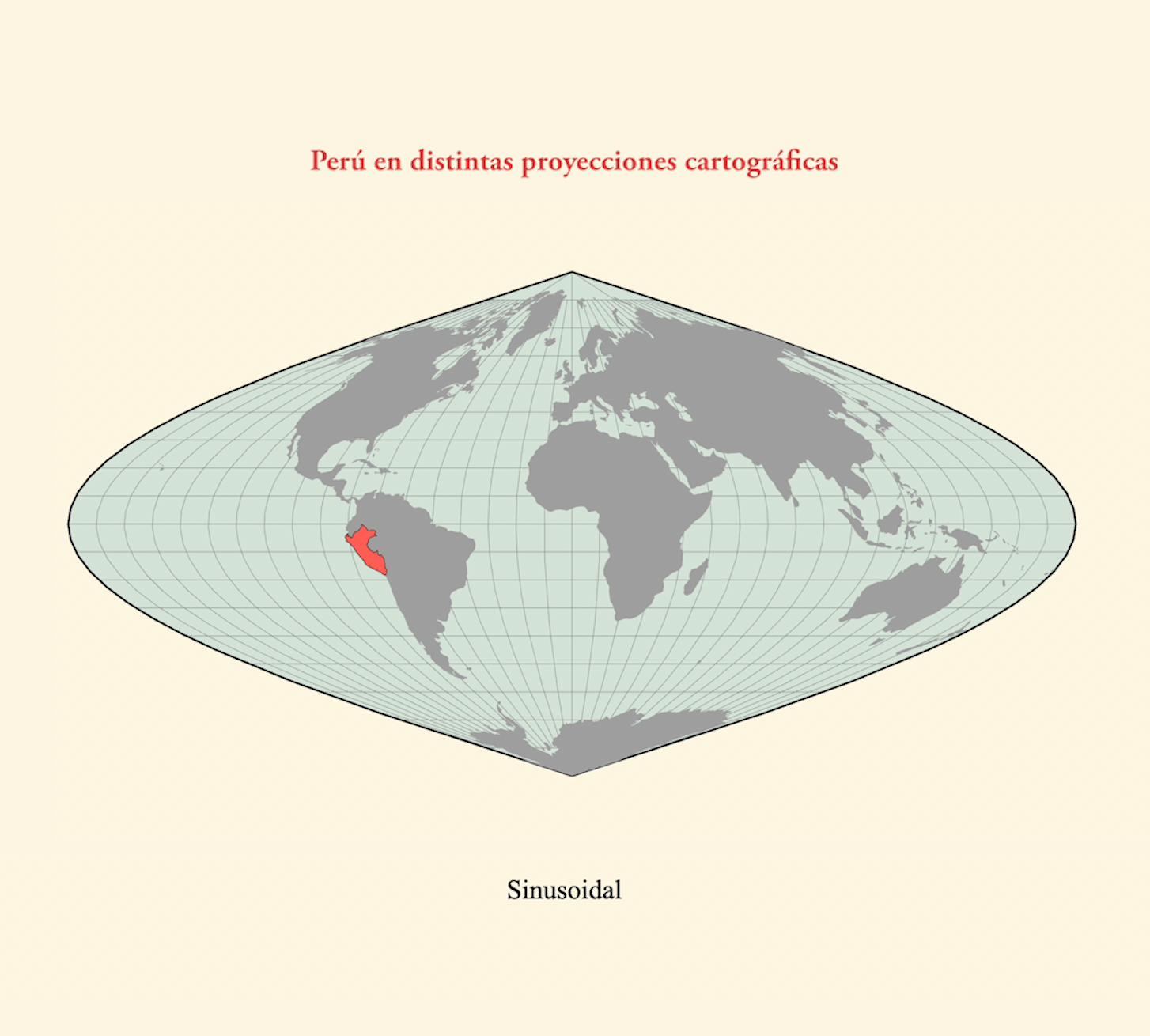
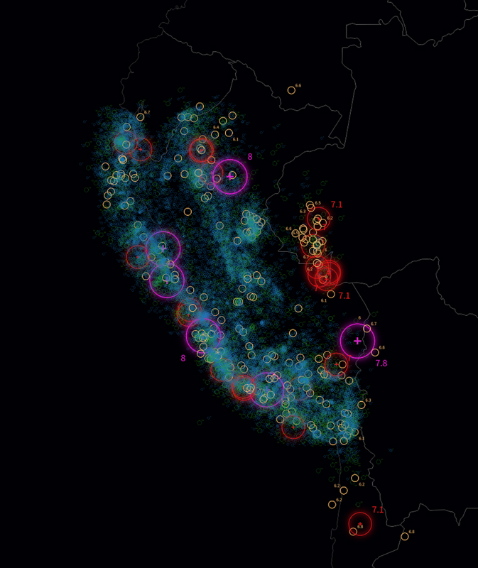
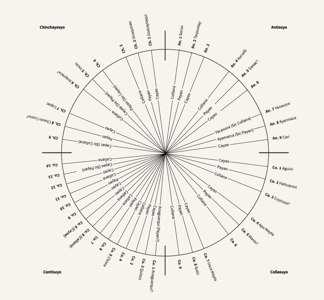
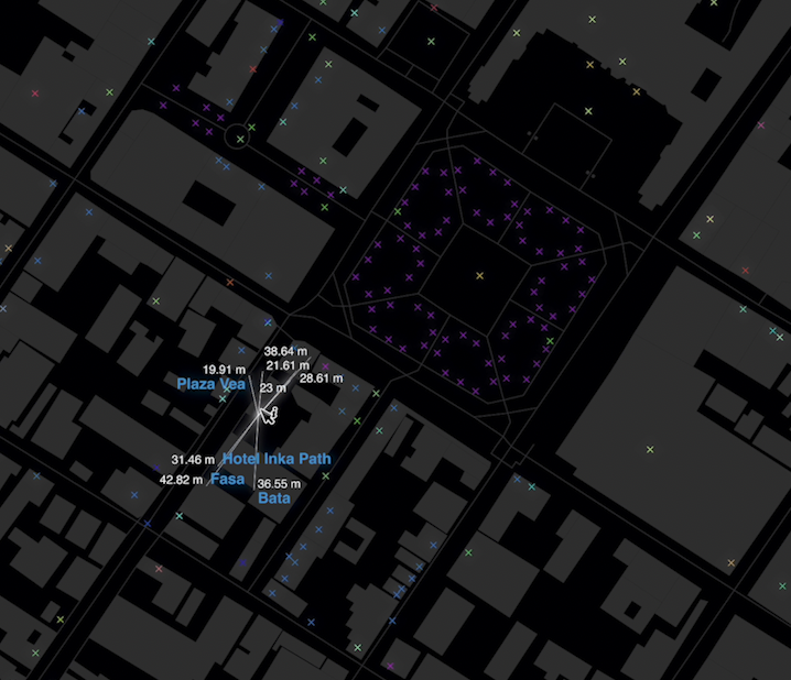
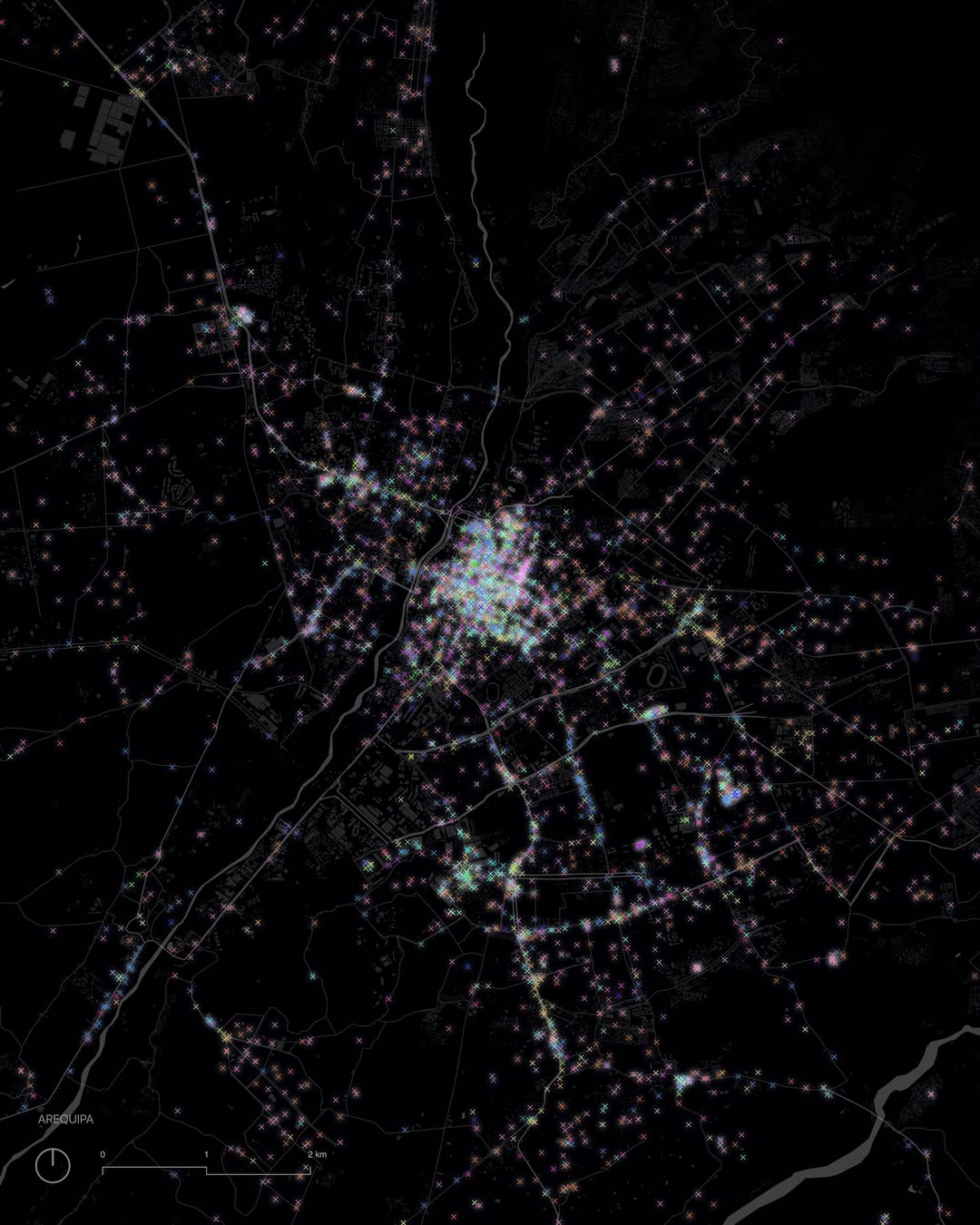
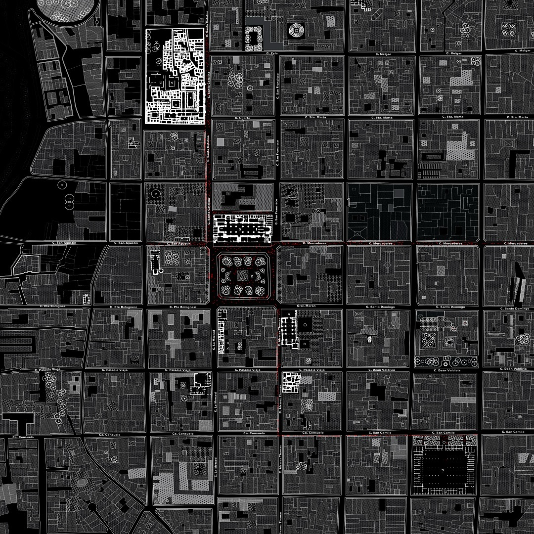
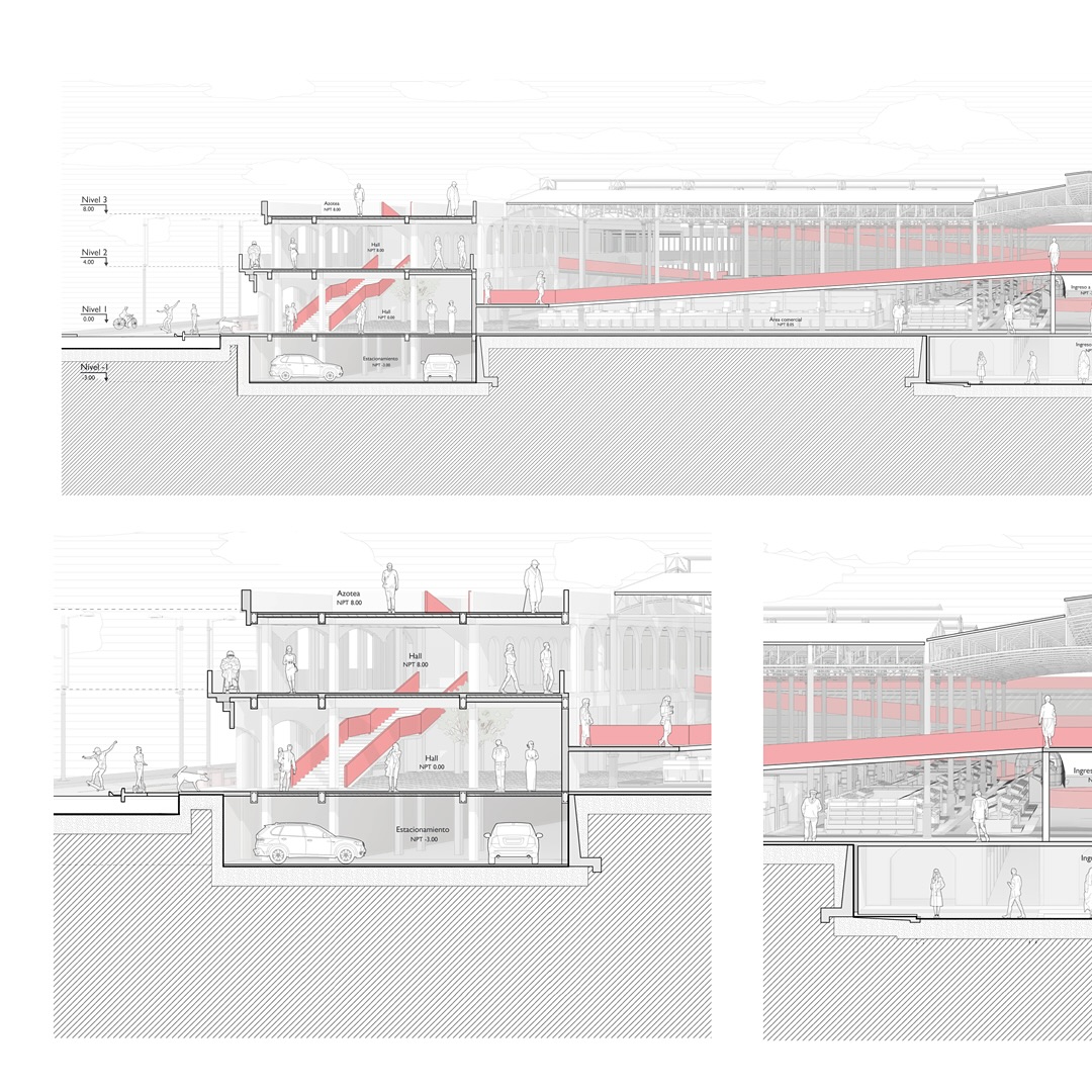
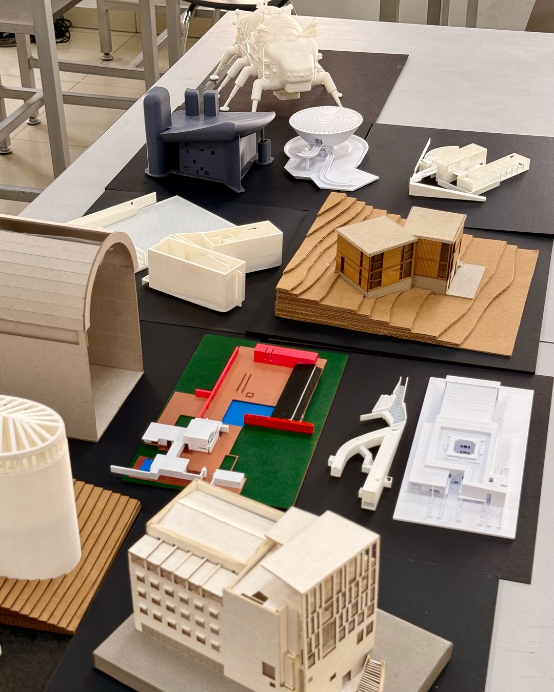
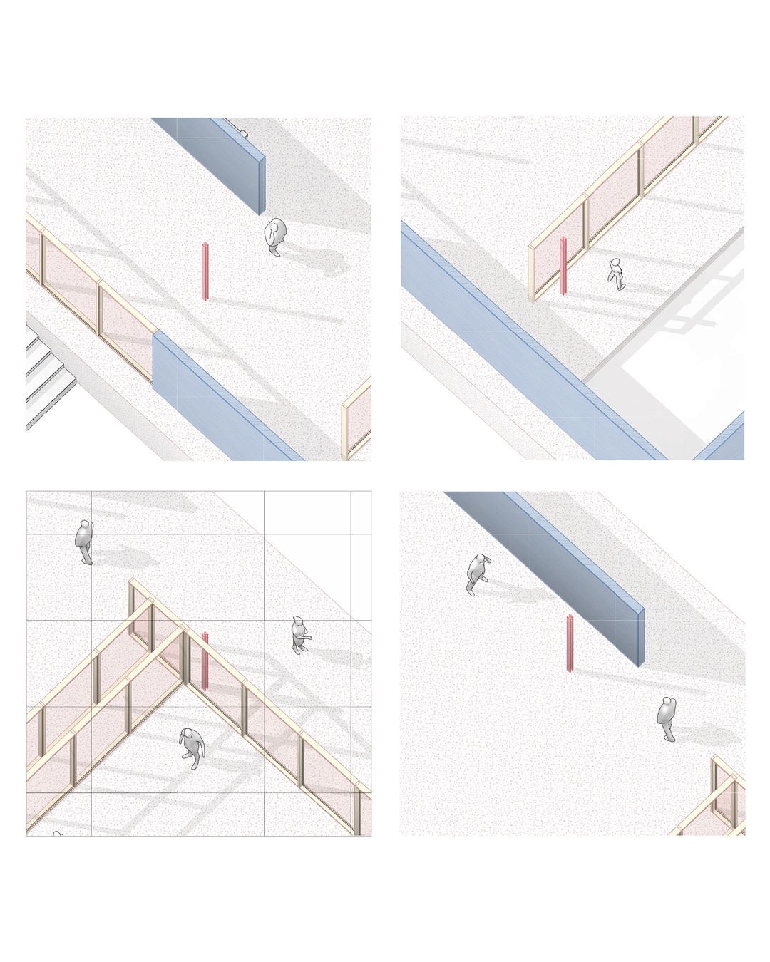
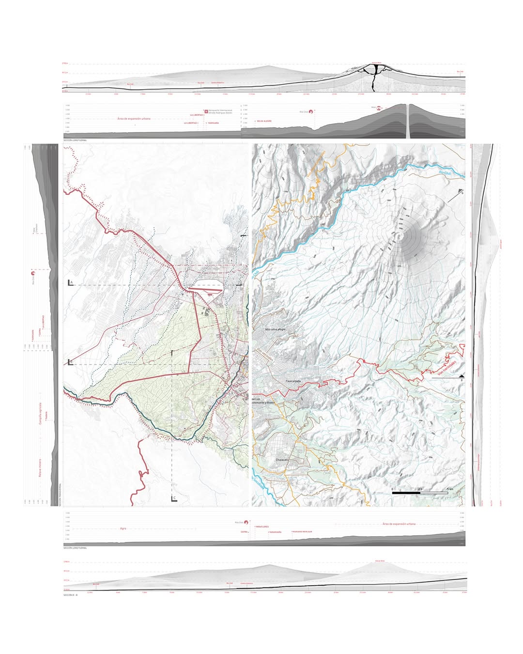
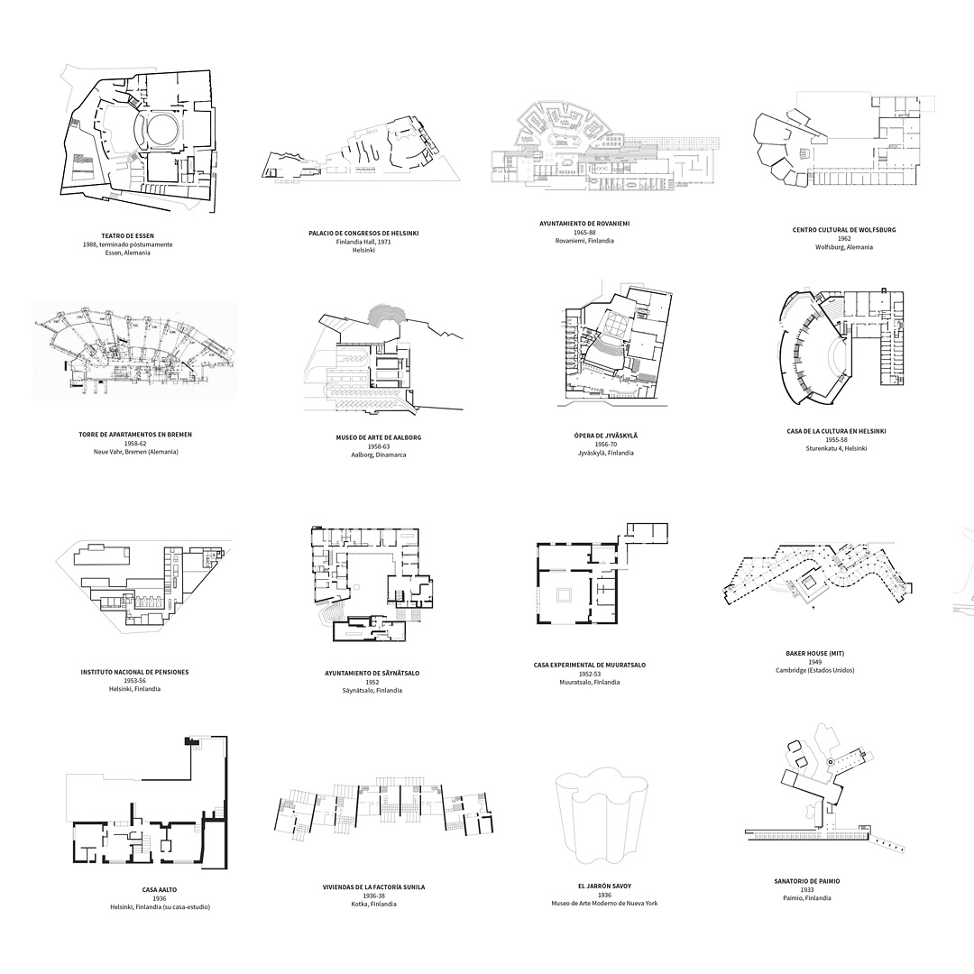
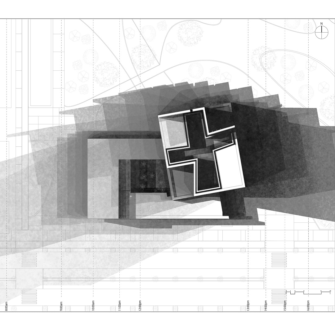
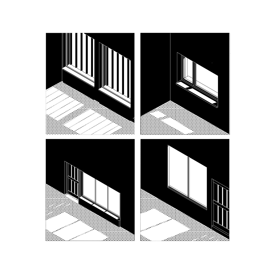
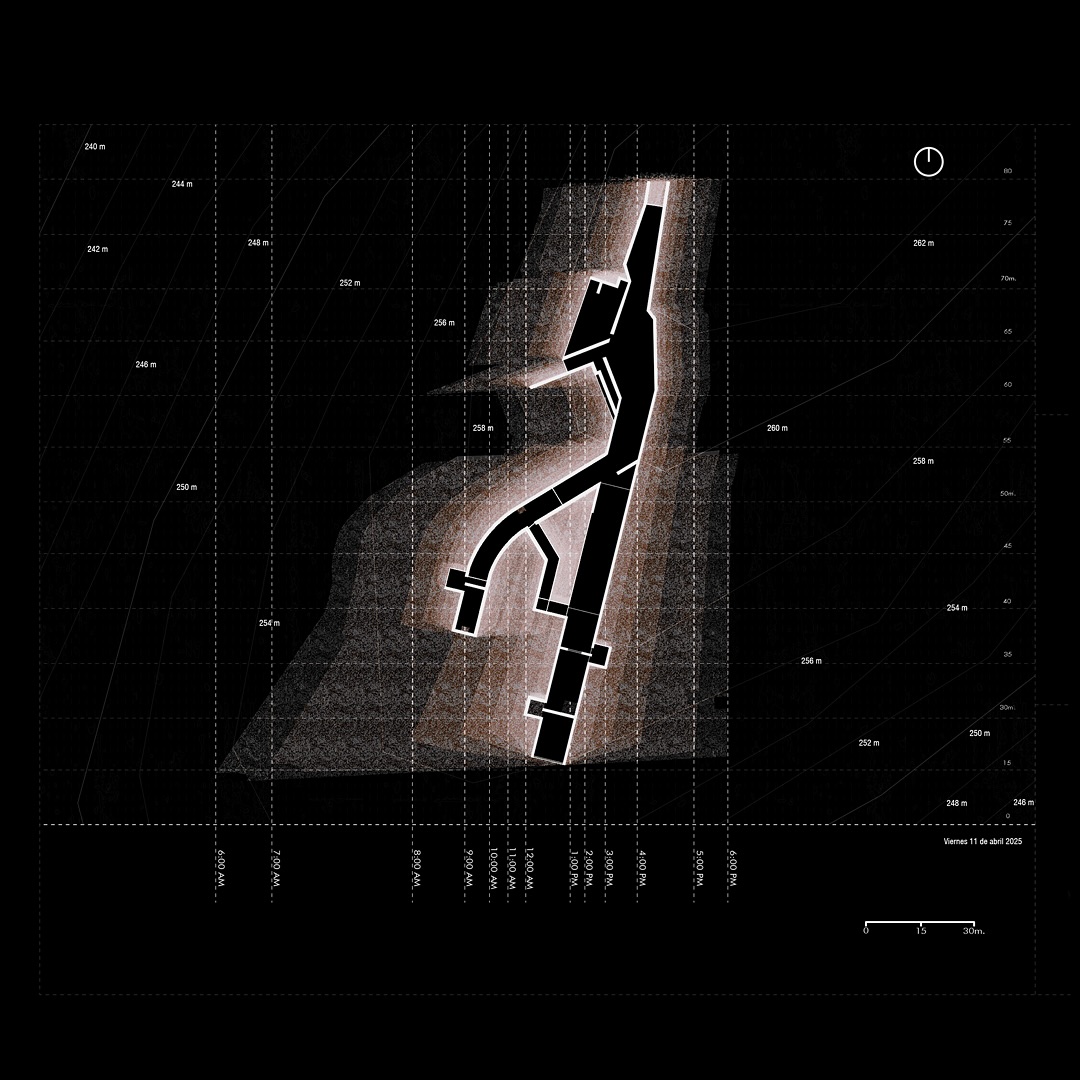
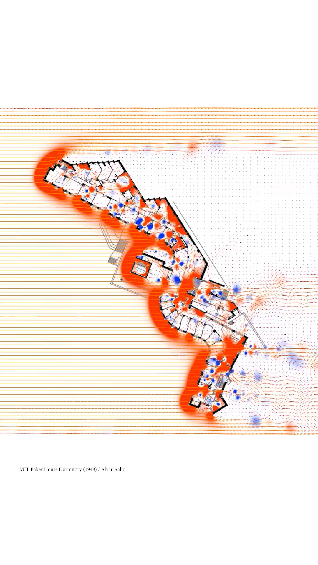
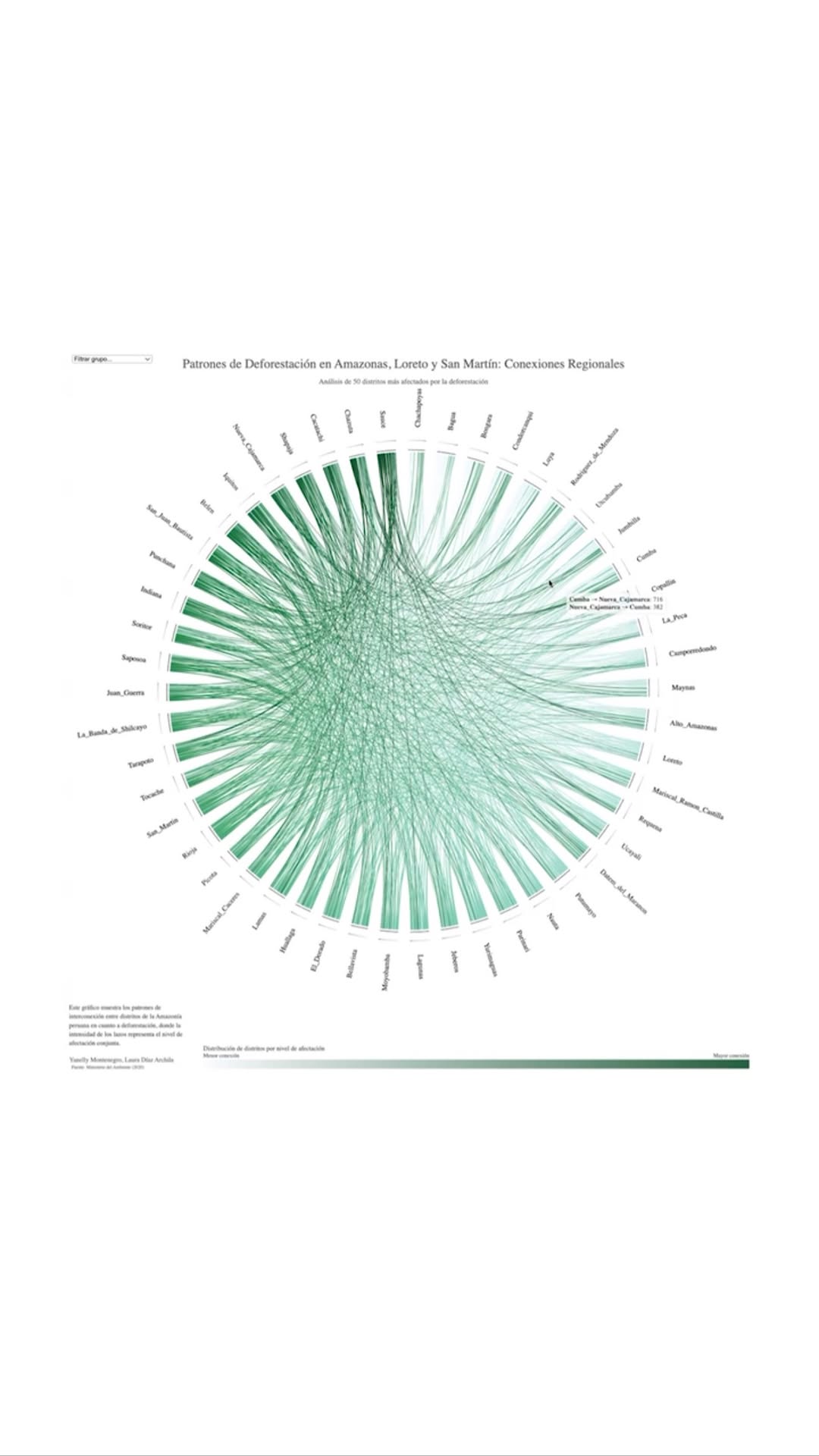
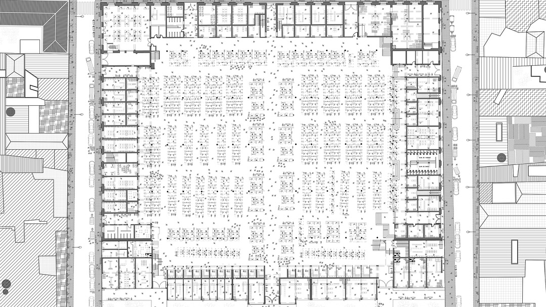
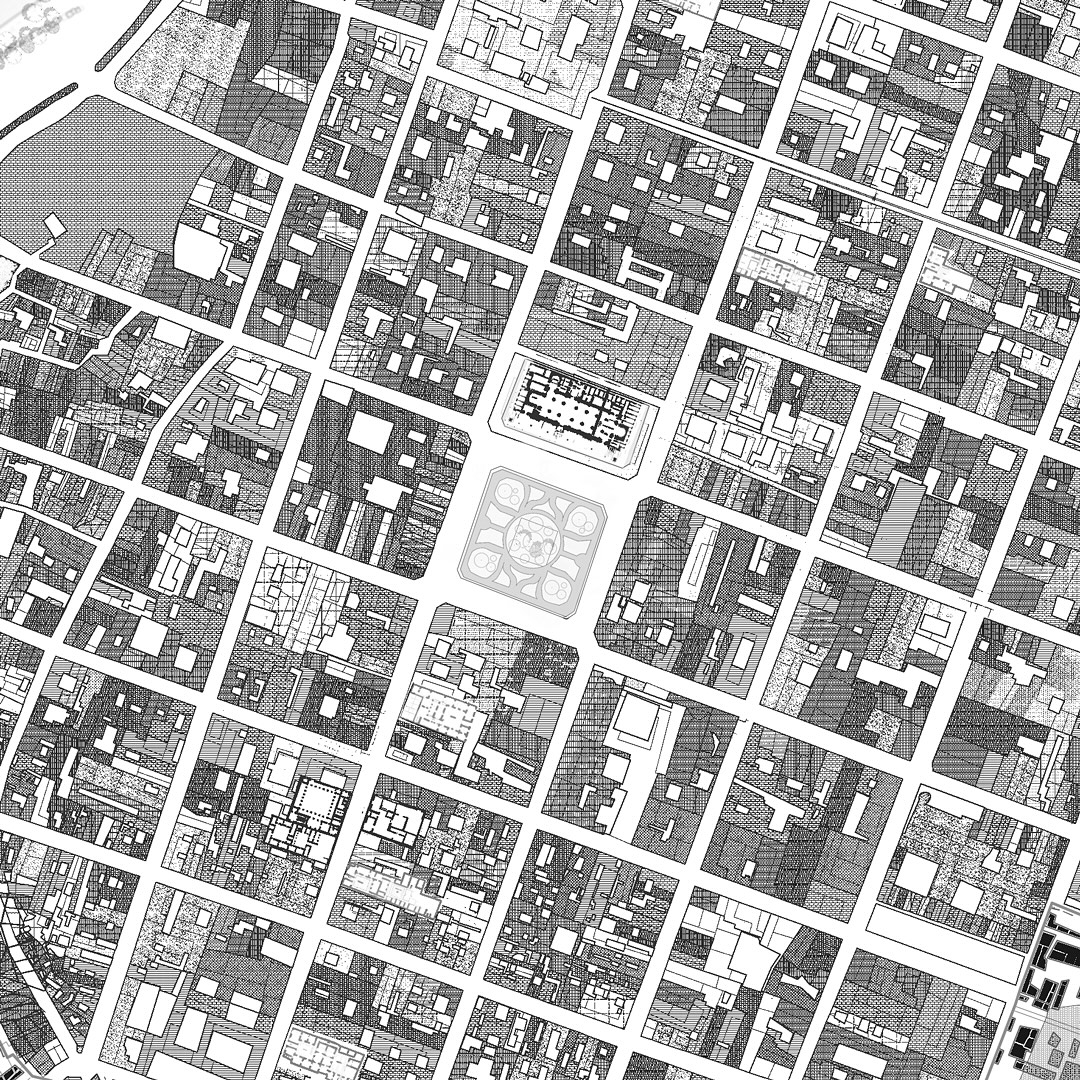
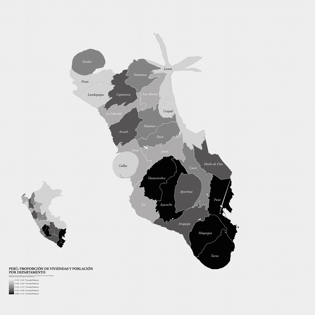
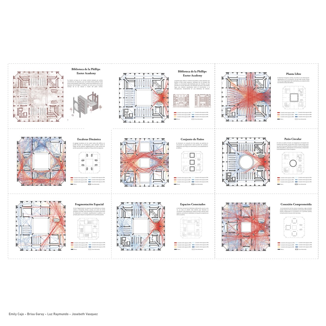
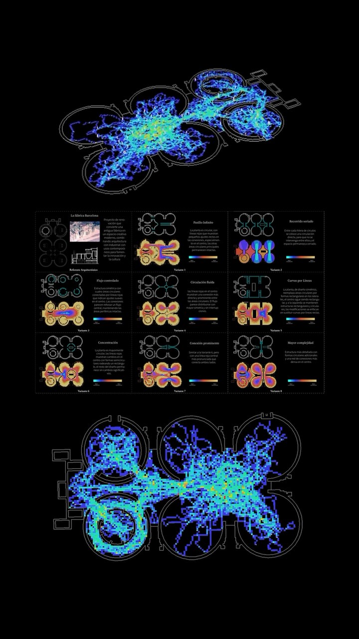
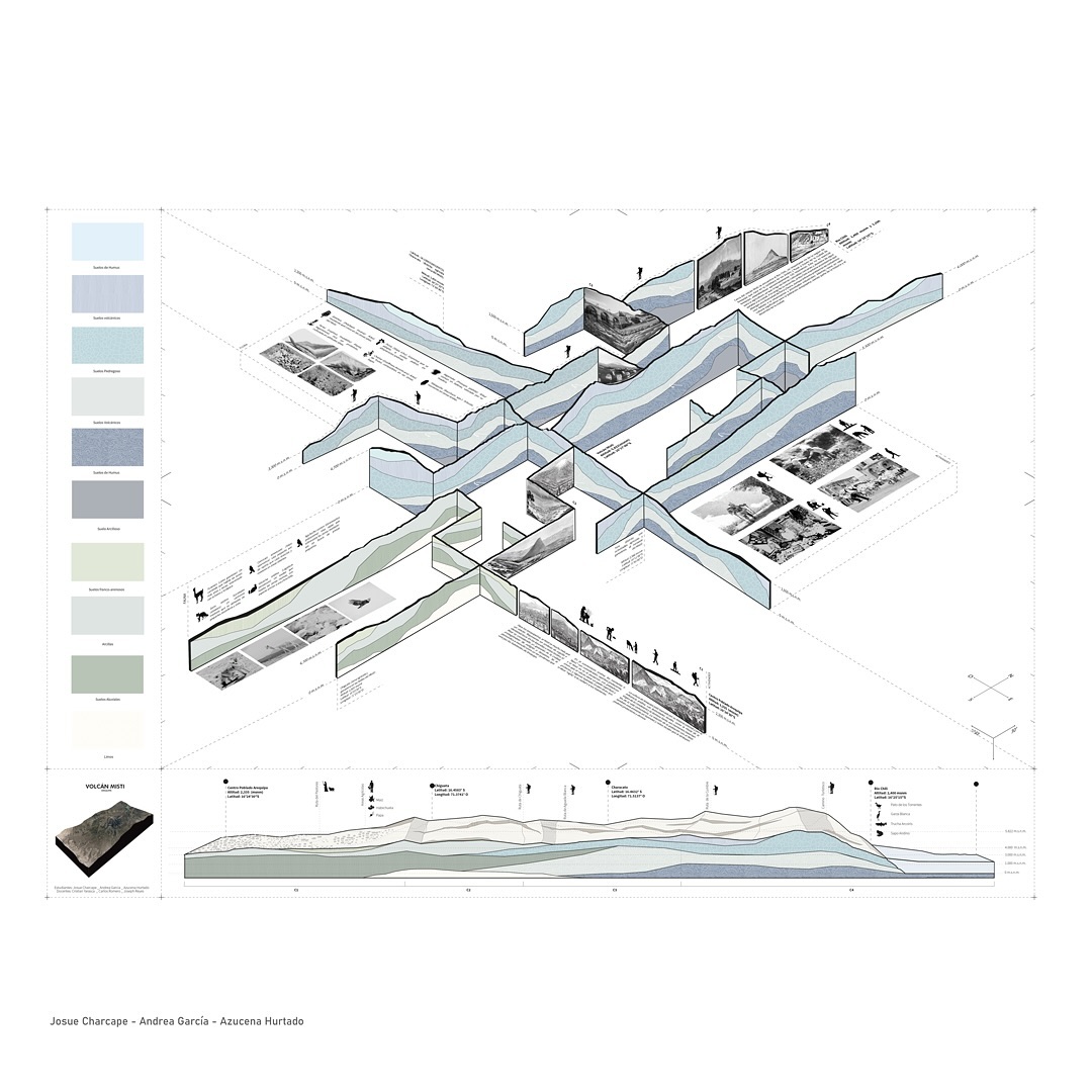
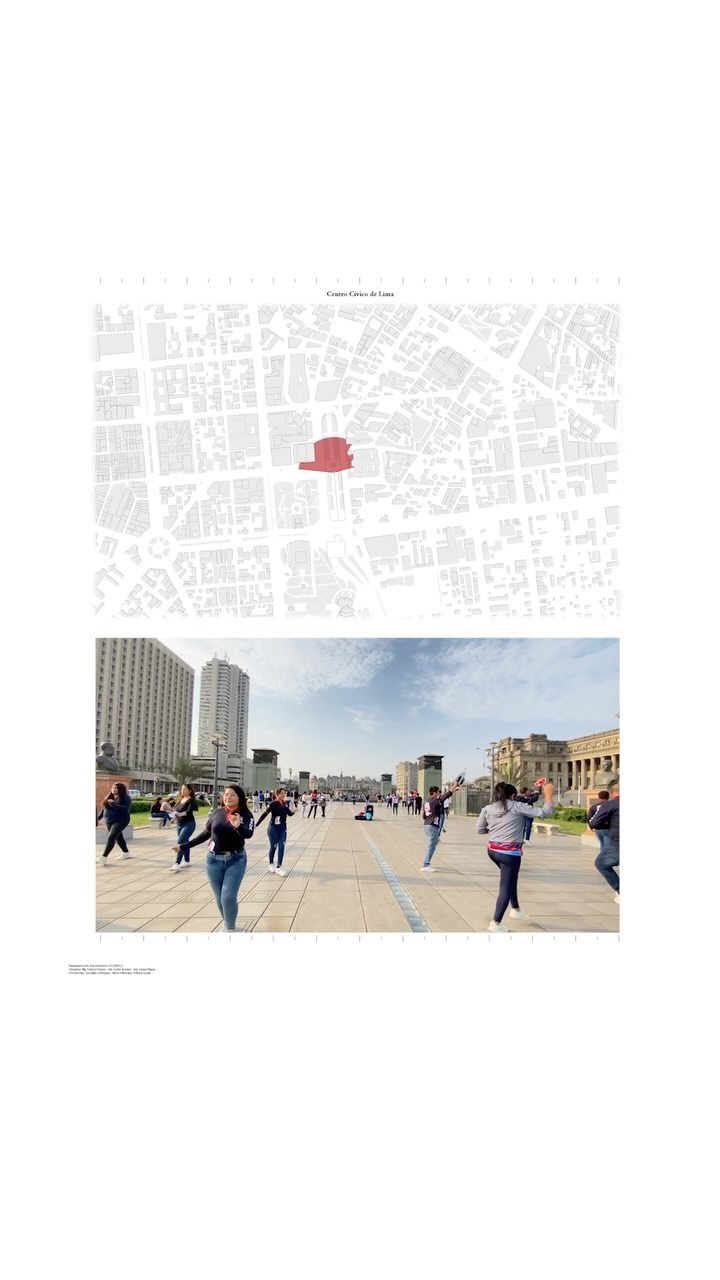
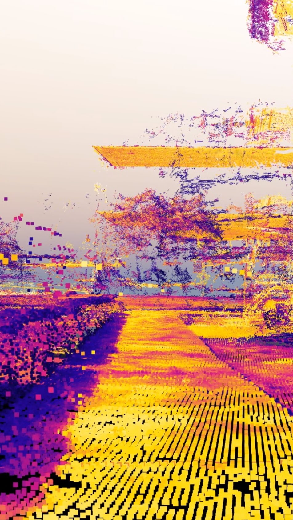
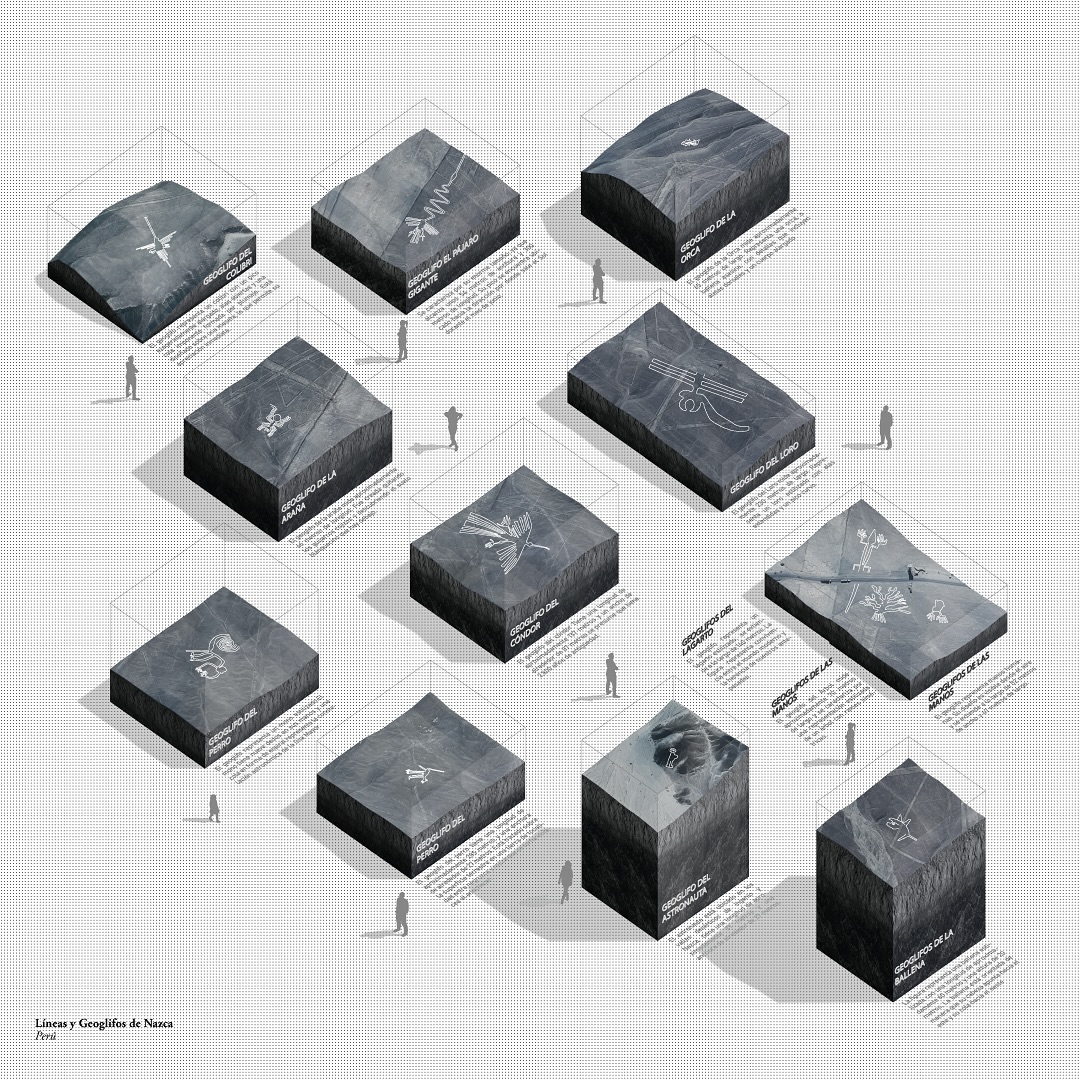
Maps and diagrams on the architecture, city, and territory of Peru.

I use computational tools for spatial and geographic analysis to graphically represent critical readings of building, urban, and territorial phenomena.

You can also follow my work through my Instagram.

Worldwide cartographic projections
Earthquake time-lapse
Cusco Ceques System
Proximity analysis
OSM Peru Cities
Arequipa Historic Center
Hand Tracking
Perspective Section
Literal Models
Cross-shaped Columns – Mies Van der Rohe
Territory of Arequipa
Alvar Aalto projects
Rafael Moneo
Alvar Aalto Voids
Saya Park
Wind Simulation
Deforestation Pattern
San Camilo Market
Historic Arequipa
Cartograms
Collective Cartography
Exeter Library
Space Syntax
Axonometric Cartography
Lima Visibility
Photogrammetry Building
Geological Map
Nazca Lines